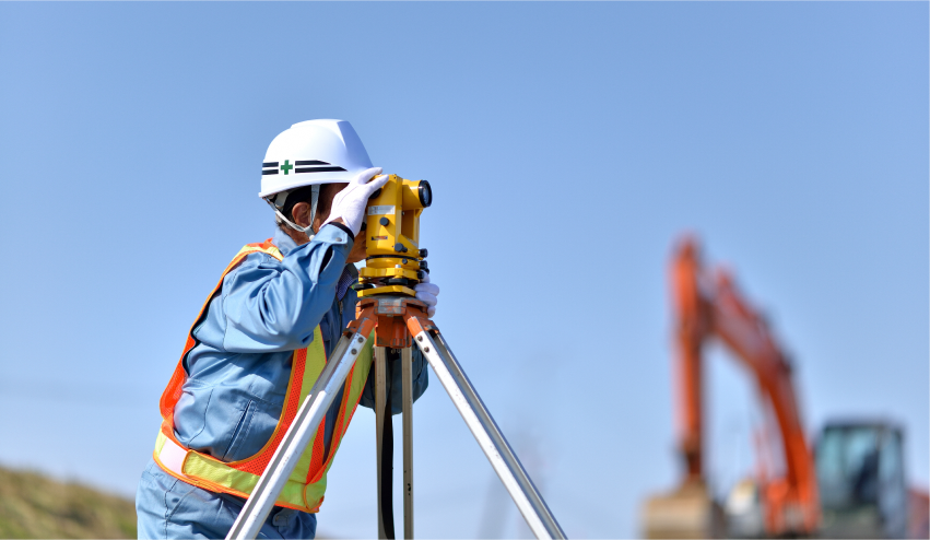
測量業務では、現場の状況に応じてトータルステーションや地上型レーザースキャナー(TLS)など、固定式の機器が使用されてきました。しかし、広範囲や複雑な地形では、膨大な時間・労力・コストが課題となっていました。
マップフォーが提供する歩行型モバイルマッピングシステム(MMS)は、移動しながら高精度データを取得することで、こうした課題を解決します。TLSでは3日かかっていた作業が、MMSを活用することで半日から1日で完了できるケースもあり、現場作業の効率を飛躍的に向上することが可能です。
人手不足が深刻化する測量業界において生産性向上を支援するとともに、建設・インフラ管理・防災対策など社会的に重要な業務の安全・効率的な推進に貢献します。
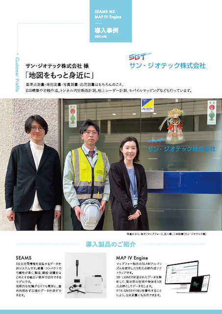
- サン・ジオテック株式会社 様
Streamlining Surveying with Mobile Mapping Systems
In surveying, scanning instruments such as total stations and terrestrial laser scanners (TLS) installed in tripods have been traditionally used. This approach requires scanning regions individually and finally merging all the scanned areas. For this reason, surveying large areas or complex terrains often involves significant time, labor, and cost.
Our handheld Mobile Mapping System (MMS) addresses these challenges by capturing high-precision data while on the move. Tasks that previously required several days to complete with traditional TLS systems can now be completed in a few hours when using our MMS, significantly improving field efficiency.
In an industry facing severe labor shortages, MMS not only helps boost productivity but also contributes to the safe and efficient execution of social infrastructure management and disaster prevention tasks.