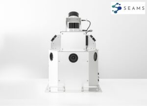
3D Data Measurement System ‘SEAMS’
Reliably captures the essential real-world sensor data for 3D map generation.
READ MORE
![]()
SOLUTIONS
PRODUCTS
WHY MAP IV
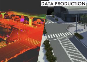
Next-Gen Spatial Awareness for Smarter Infrastructure
Using SLAM technology and AI, we create and analyze point clouds to provide cutting-edge solutions for infrastructure inspection, autonomous driving, surveying, and robotics.
MAP IV develops and provides 3D Data Measurement System.
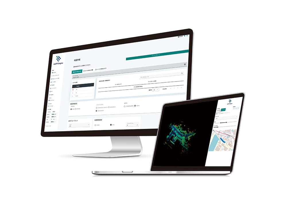
Used with our 3D point cloud software 'MAP IV Engine,' our proprietary algorithms quickly generate high-precision maps with excellent cost efficiency.
Our strength lies in the breadth of our technological development area and our track record in sensor evaluation.
Our object recognition software, which implements our proprietary algorithms, enables us to provide highly accurate and real-time object recognition solutions.
Also propose optimal solutions for various fields with different conditions and provide systematic assessments of accuracy and reliability for localization technology, an important elemental technology in the fields of automated driving systems and robotics.
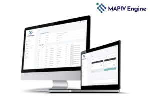
An advanced 3D point cloud mapping software that employs our proprietary SLAM algorithm.
READ MORE
A multi-sensor fusion navigation system designed for vehicles.
READ MORE
A perception framework capable of accurately collecting, analyzing, and processing real-world information from sensors.
READ MORE
A semi-automated multi-sensor calibration package that precisely calculates the intrinsic and extrinsic parameters.
READ MORE
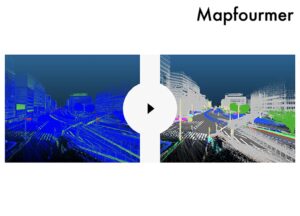
About Mapfourmer Map…
READ MORE
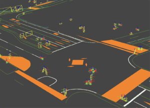
Accelerates vector map creation by automatically detecting, classifying, and vectorizing objects.
READ MORE
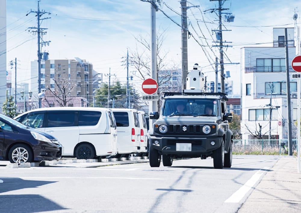
MAP IV provides comprehensive solutions to integrate autonomous driving technology into real-world driving environments.
Our services range from supporting the integration and operation of specific autonomous driving systems to applying autonomous driving technology in the real world.
Taking into account the characteristics of various sensors such as LiDAR, cameras, Radar, we propose optimal sensor configurations and calibration techniques for environments with different conditions.
We aim to deliver high-quality 3D map data that meets your unique requirements.
READ MORE
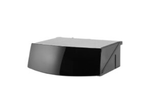
MAP IV offers a range of Hesai Technology’s 3D LiDAR products.
READ MORE
Comprehensive solutions to integrate autonomous driving technology into real-world driving environments.
READ MORE